

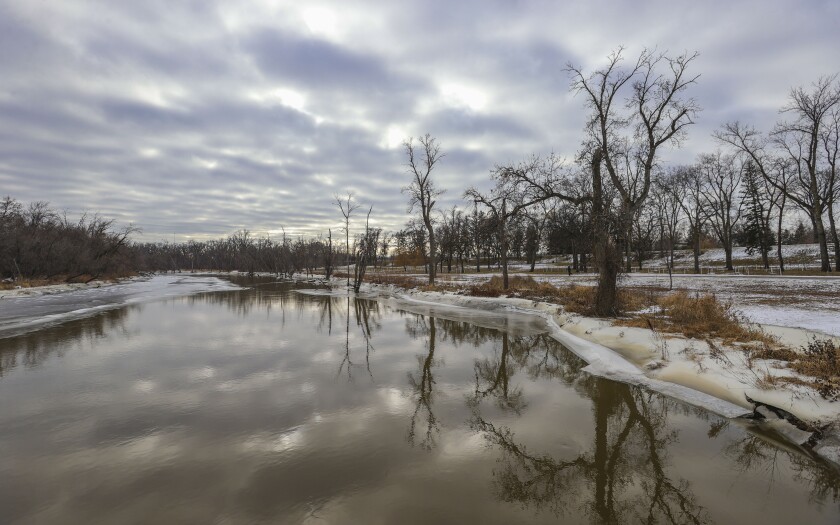
FARGO — After a hot summer season, many in the Red River Valley may have been looking forward to the crisp, cool air of winter and blankets of snow. Instead, the area is seeing record months again and again, with December now ranked the warmest on record.
While the National Oceanic and Atmospheric Administration reported they are not ready to release their information about the record-breaking warmth, meteorologists at WDAY reported on the issue all last year.
ADVERTISEMENT
It started with the the five months between May through September. The average daily mean temperature during that time was the warmest on record since 1881, according to WDAY meteorologist John Wheeler. May was the second-warmest ever recorded.
“All together, this past growing season from May 1 through Sept. 30 is now the warmest average daily mean temperature on record by almost one degree per day,” Wheeler said. Much of the came at night, he said.
WDAY meteorologist Jesse Ritka told The Forum the combination of climate change and ocean currents means winters will be getting warmer.
"All of my calculations and everything, we had the warmest June on record for Fargo, second warmest for Grand Forks. December was warmest on record by a long shot for both. If you go May through December, that is the warmest on record for both," Ritka said.
Seven out of the top 10 warmest years on record occurred during the 2000s, Ritka said.


"Climate change doesn’t mean we will not have winter, but it does mean that winters might not be as bitterly cold, or more wintry mixes at the end of the seasons," she said. "We’ll see more of these warmer events on the bookends of the season.
"The trend is definitely going into more of these warmer-than-normal years," Ritka said.
ADVERTISEMENT
The first two days in October saw record-breaking heat reaching into the 90s, which was a first since weather records began for the Fargo-Moorhead area in 1881. The warm trend continued into November and December,
Last month, the National Oceanic and Atmospheric Administration announced that the globally averaged temperature for November was the warmest in at least 174 years, and December was expected to be the same, Wheeler wrote.
“The El Nino, which has the effect of raising the globally averaged temperature due to changes in ocean currents, combined with the gradual rise in temperature from climate change, has likely produced this spate of warm months,” he wrote.


“It should be noted that an Earth this warm is not unprecedented. It is well-established that, globally, temperatures have been much warmer many times in the distant past, including times when most of the world was tropical. Around our region, both November and December are among the warmest on record,” he said.
Jared Piepenburg, more “above average” temperatures for January.
While there are hints at some upcoming light snow showers, but no incoming major storms, “It won’t be as warm, but most days will be above average,” he said.


