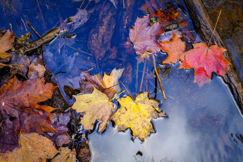
DULUTH — Whether you like the yellows and reds of a maple canopy forest, or maybe the golden hues of tamarack later in the season, or the softer browns of oaks, you can find pretty much any color of autumn's palette somewhere in the Northland.
And there’s really no better way to soak in the fall color than to get out in it. Go take a hike.
ADVERTISEMENT
The News Tribune has compiled, in no particular order, a list of great fall hike reviews gleaned from many years from our reporters, regional authors and natural resource and tourism agencies.
The color already is starting on the ground, as grasses and sedges and wildflowers turn from green to gold. Black ash trees around Voyageurs National Park are already turning yellow. Maples along the tops and back sides of the North Shore hills are starting to turn red and yellow, and will peak in the next week or two.
So don't dally too long Don’t wait for someone else to proclaim peak color has arrived, or it may be too late.
Pick out a trail, grab your boots and go.

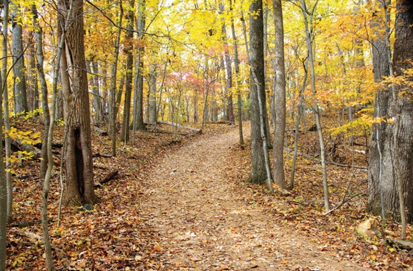
Lookout Mountain Loop, Cascade River State Park, Lutsen
- State Highway 61, around mile 100
You don't need a state park pass to park in the lot at Cascade River State Park. Almost immediately, you come upon Cascade Falls, which has several viewing points of the water and a large rock outcropping you can stand on to get a closer view, if you're brave.

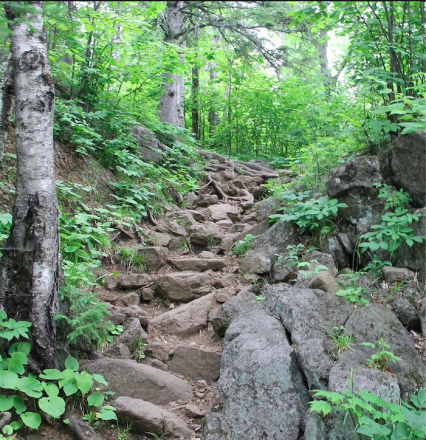
The Lookout Mountain Loop is a Hiking Club trail, and the first half of the counterclockwise loop is also part of the Superior Hiking Trail.
ADVERTISEMENT
Getting to the lookout point is moderately challenging because of the incline, somewhere more than 600 feet vertical. The view is well worth the effort.
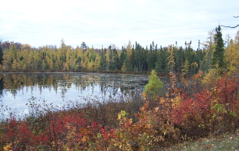
Twin Lake Trail, Rice Lake National Wildlife Refuge, McGregor
- Just off state Highway 65 east of McGregor
This is just a 0.75-mile walk through mixed forest surrounded by open wetlands, but well worth the stop if you are in the area. Admission to the refuge is free and as long as you are there, drive to the elevated observation area and watch for thousands of waterfowl staging there on their way south.
In some years, nearly 1 million ducks and geese will be here. (Early mornings and late evenings are best.)
Moose Lake State Park, Moose Lake
- Just off I- 35 at southern Moose Lake exit
You’ll need a seasonal or day state park pass here, but it’s worth it. Several trials wind through mixed forests, around wetlands and along Moosehead and Echo lakes. There’s plenty of parking for day hikers but the campground fills up early for overnight guests.
Moose Lake is located between Duluth and Hinckley, not far from Interstate 35. A mix of aspen, maple, birch, basswood and some pines make a great color combination. Start on the Wildlife Pond Trail to take advantage of views of the fall colors over water, then head onto the Rolling Hills Trail and complete the loop for some autumn tree bathing.
The changes in elevation are moderate at worst, and a portion of the trails are paved for easy accessibility.


ADVERTISEMENT
Palisade Head, North Shore
- State Highway 61, northeast of Silver Bay

This isn’t really much of a hike, but the view — especially as fall color peaks — is worth it from the top of the rock along this Lake Superior shoreline. It’s part of Tettegouche State Park, but you don’t need a park pass to drive (or walk) up the short access road off Minnesota Highway 61.
Trailers are not allowed on the access road as it is narrow and very windy and the parking lot is small.
Go early in the day to avoid crowds and watch out for rock climbers.
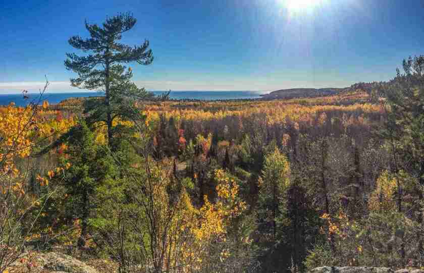
Britton, Levauex and Oberg overlooks; North Shore hills
- Britton begins on Sawbill Trail, 2 miles north of state Highway 61; Leveaux and Oberg start on Forest Road 336, not far off Highway 61
These will be busy trails at peak fall color, so it may be best to go on a weekday. The Leveaux and Oberg trails are about 2-3 miles; the Britton Trail is short.
These legs of the Superior Hiking Trail get you up off the North Shore and onto the backside of the Sawtooth “Mountains” to see huge expanses of red and yellow maples that can't be seen from Highway 61. The maples up on the hills usually hit peak color sometime between Sept. 21-28, earlier than the North Shore itself, which may not peak until early October.
Oberg Trail, 3 miles, leads to the top of Oberg Mountain; Leveaux Trail, 3.3 miles, leads to Leveaux Mountain. Both begin with moderately climbing switchbacks leading to an easy, circular loop at top of each mountain. Oberg rises 1,000 feet above Lake Superior with nine scenic overlooks. There are rock cliffs and ledges, so watch your kids.
Bear Head Lake State Park, Ely
- State Highway 169 north past Soudan, then County Road 128 south to park
You’ll need a state park pass, but this favorite camping destination offers 17 miles of trails in rolling terrain with a good share of hardwoods for color.
ADVERTISEMENT
Wolf rock overlook, Two Harbors
- From Two Harbors, go 10 miles on state Highway 61; turn left onto Lake County 106 and go 2.3 miles
Hikers can take in gorgeous North Shore views at the Wolf Rock Overlook near Two Harbors. It’s just over a mile round-trip, but the trail‘s steep elevation inclines over 200 feet within a half-mile and you will end up about 900 feet above the lake.
Reach the summit and be rewarded with breathtaking views of the surrounding countryside, including dazzling maples as well as the big lake, and Crow Creek. (If you’re looking to make the hike longer, continue on another 8.6 miles and you will find yourself in Gooseberry Falls State Park.)
Park in the Superior Hiking Trail lot on the right side of the road. Take the hiking trail that is furthest to the south.
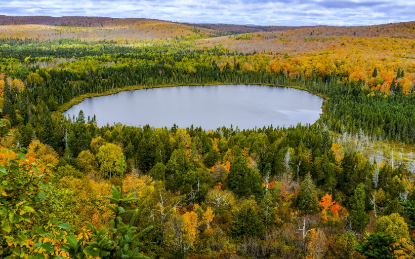
Tell Lake and Chase Point trails, Scenic State Park, Itasca County
- From Grand Rapids, take U.S. Highway 169 east past Taconite; turn north onto County Road 7/Scenic Highway; go 30 miles; turn north into state park on County Road 75
Day hikers can explore a pine-covered ridge separating two lakes. The 2.9-mile route is generally easy walking with lots of tree variety. A parking lot is on the side of County Road 75.
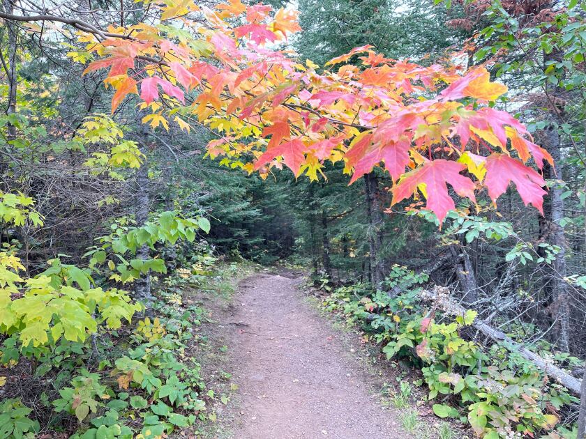
Bean and Bear Lakes Loop, Silver Bay
- Take Penn Boulevard (Forest Highway 11) just outside Silver Bay; trailhead is on right
Another uber-popular fall color destination along the Superior Hiking Trail system, a weekday trip would help avoid crowds. The round-trip hike totals about 6.5 miles and offers stunning views of maple forests.
Millennium Trail, Superior
- Park at 3120 N. 28th St.
If you like your trails easy, paved and close to home, try the Superior Municipal Forest, with 4,400 acres with a multitude of tree varieties such as white and red pine, balsam, cedar, black spruce, white birch and aspen. The Millennium Trail is a 10-foot-wide paved, easy-to-hike path meandering through the trees.
ADVERTISEMENT
Did you know that the Superior Municipal Forest is the largest forest within a city anywhere in the U.S.?
Read 'Minnesota's Best Autumn Hikes'
A couple years ago, we reviewed prolific Minnesota author on best places to hike for fall color in the Land of 10,000 Lakes. He lists at least one hike in all 87 counties.
Here's Bignell’s top 10 list from the book, in no particular order:
- Lutsen Access Trail, Superior National Forest/Lutsen Scientific and Natural Area
- Oberg and LeVeaux Mountain Trails, Superior National Forest
- Middle-West Manitou- Misquah-Yellow Birch Loop, George H. Crosby Manitou State Park
- Skibo Vista Overlook, Superior National Forest
- DeSoto Trail, Itasca State Park
- Cow Lake Trail, Maplewood State Park
- Black Ash Trail, Belle Prairie County Park
- Bur Oak Trail, Helen Allison Savanna Scientific and Natural Area
- White Oak Trail, Nerstrand Big Woods State Park
- Minneopa Falls Trail, Minneopa State Park